
Upcoming dates:
July 24th, 25th.
August 2nd, 7th, 15th, 28th, 29th.
I might not be able to schedule any roams in September, but rest assured we will come roaring back in October – and stay tuned for a special event as well.
The Meetup page and the Instagram page will have the latest news if there are any changes to the plans.
All weekend roams start at 1:30, lasting around three hours, and Friday ones at 3:00, generally taking two hours. All roams are loops unless otherwise stated; I also flag any longer or especially hilly routes.
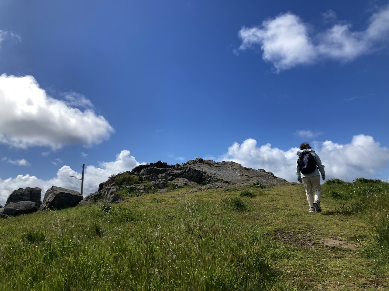
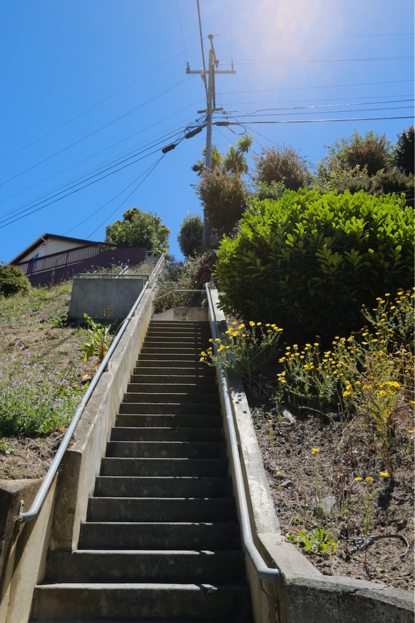
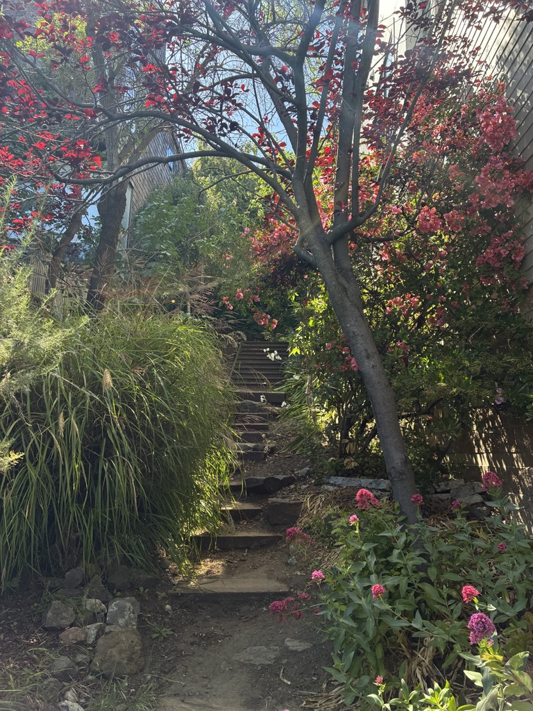
We haven’t over to Forest Hill since tackling all the stairs at the beginning of the year. This Friday roam, on the 24th, won’t be quite as challenging, but we will visit three peaks you might be less familiar with in the area: Edgehill Mountain, Larsen Peak (aka Golden Gate Heights Park) and Hawk Hill.
This route will take us up some of the wonderful staircases in Forest Hill, and we will have other off-road climbing, so again, this is not one for those who prefer the flats.
We will meet at the West Portal library.
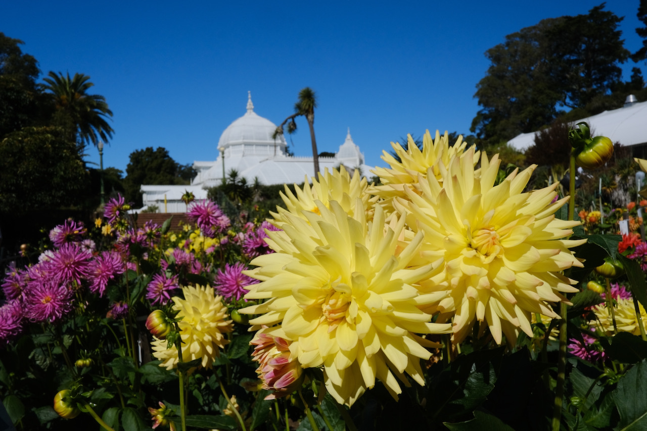
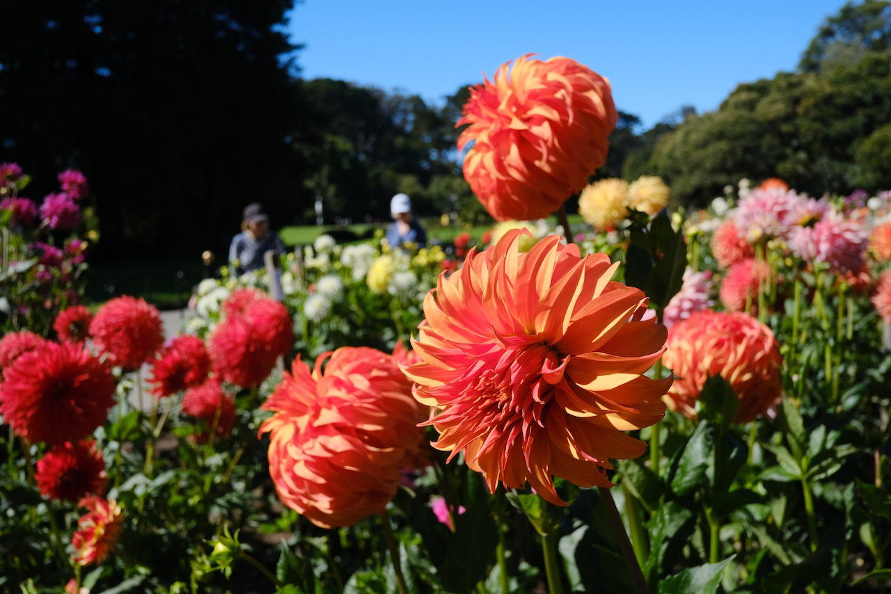
Among our annual routines is a mid-summer visit to the dahlias in Golden Gate Park. This year we will also return to Sisterhood Gardens in August, for the other spectacular collection in the city; I am hoping that the blooms will co-operate with my scheduling for this roam on the 25th – we already saw a beautiful array of dahlias at the community garden in the Presidio in mid-June.
We will meet in front of the Conservatory of Flowers before lingering at the dahlia circle. After this we will head out to Lone Mountain and Laurel Heights, which we explored last year, before coming back to the flowers.
There are some staircases and a bit of climbing on the way round, but not as much as many roams.
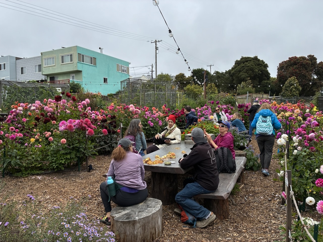
On Sunday August 2nd, the second half of our dahlia roams, across Cayuga and Lakeview.
I am very fond of this under-appreciated part of the city, and we have been roaming here for many years. On recent visits we have added Sisterhood Gardens to the route, as they have a dahlia display probably only second to the collection in Golden Gate Park.
While we are close to the freeway for much of the route, we will also be visiting lesser-known sweet parks and viewpoints in this south west corner of the city.
There will be a significant climb in the middle of the roam, and some off-roading.
We start from Balboa Park station, specifically in front of the Macchu Pichu cafe, on the plaza by Exit A of the station.
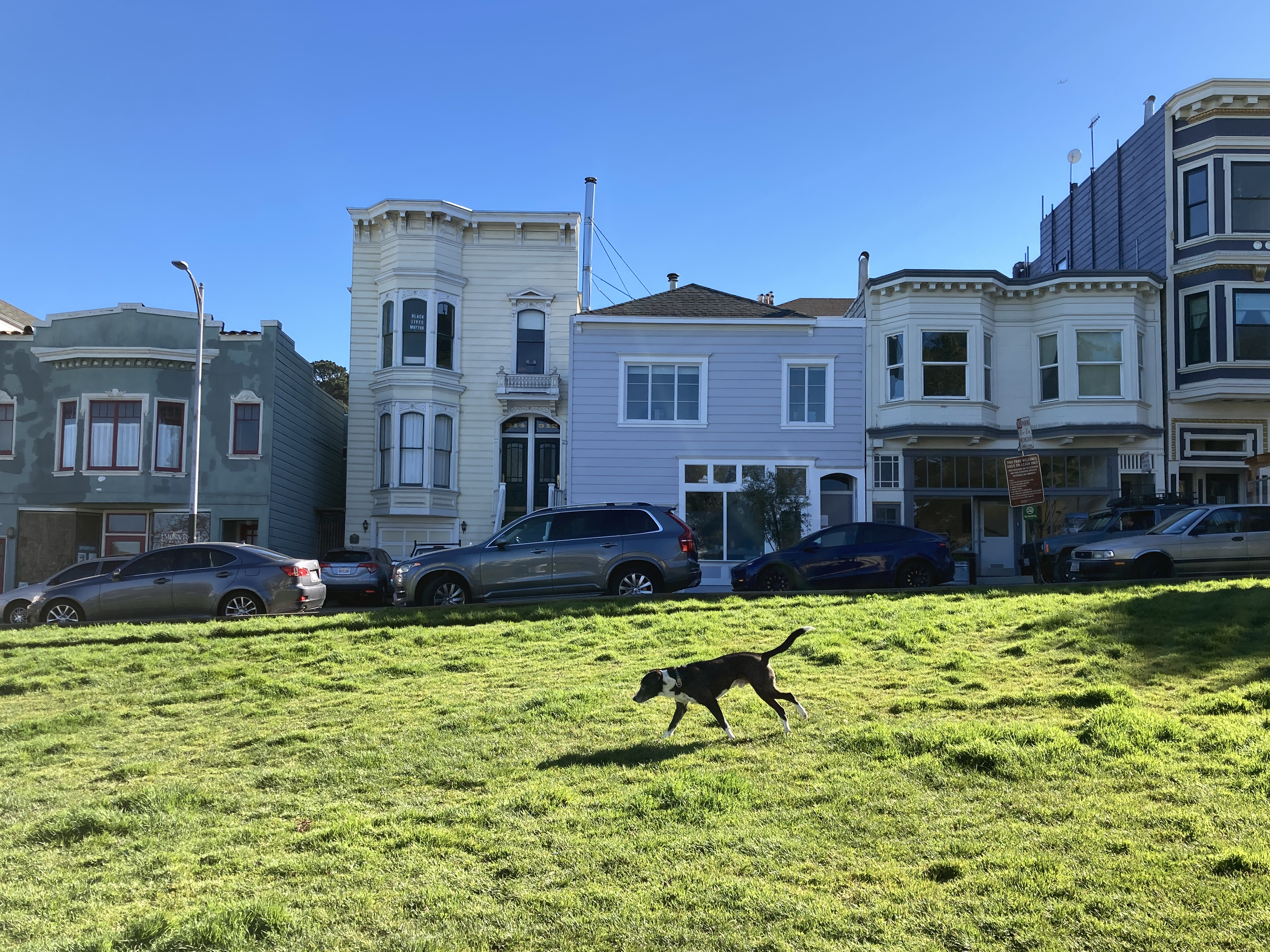
I’ve always been fond of Precita Park, and now that it has a new bathroom, there is even more reason to spend time there. You may not be able to name the other four parks nearby that we can visit on a Friday roam, but we will go and investigate them, on either side of Precita Creek, which lies buried under what is currently Cesar Chavez Street.
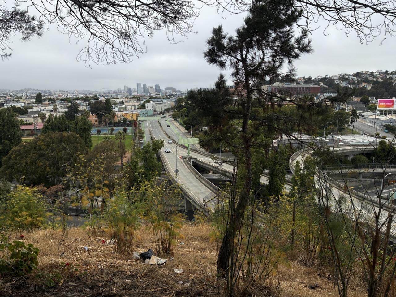
We will do a bit of climbing on this one, part way up the north side of Bernal, and we will spend some of it in earshot of the freeway, though other parts will be very peaceful.
Meet by the playground at Precita Park, across from Harrison St, 3:00pm on Friday 7th.
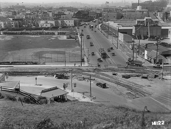
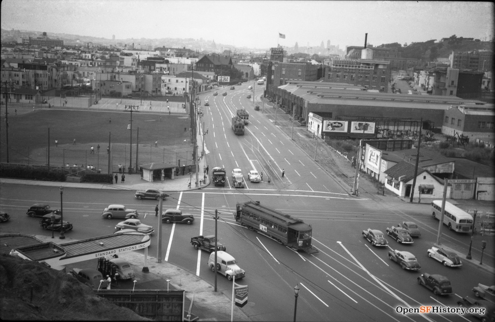
The corner of Bernal and Potrero Hills over the decades. My recent shot may be taken from a little higher, but it took me a long time to recognise where these old pictures were showing: the intersection of Potrero Ave and Army Ave (currently Cesar Chavez).
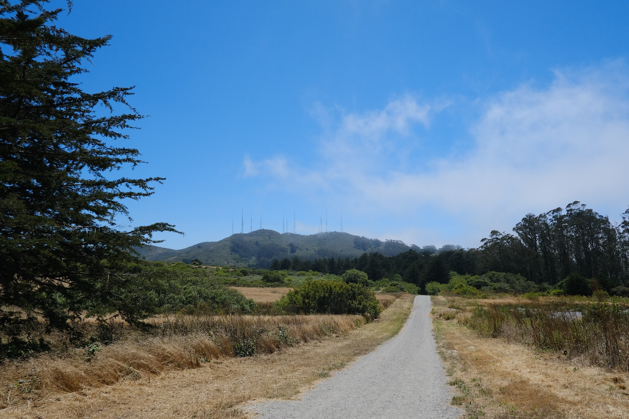
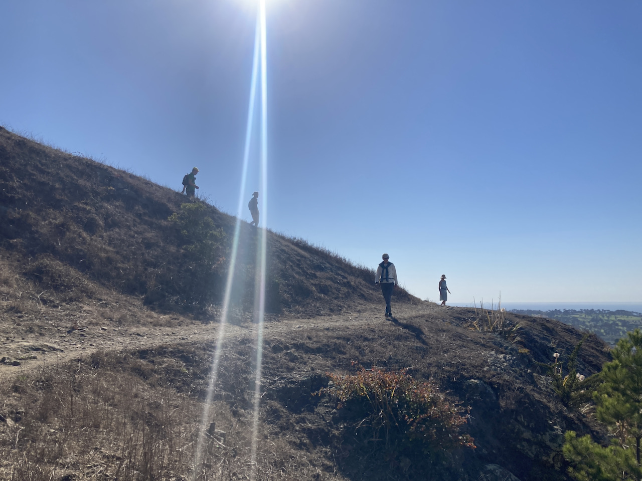
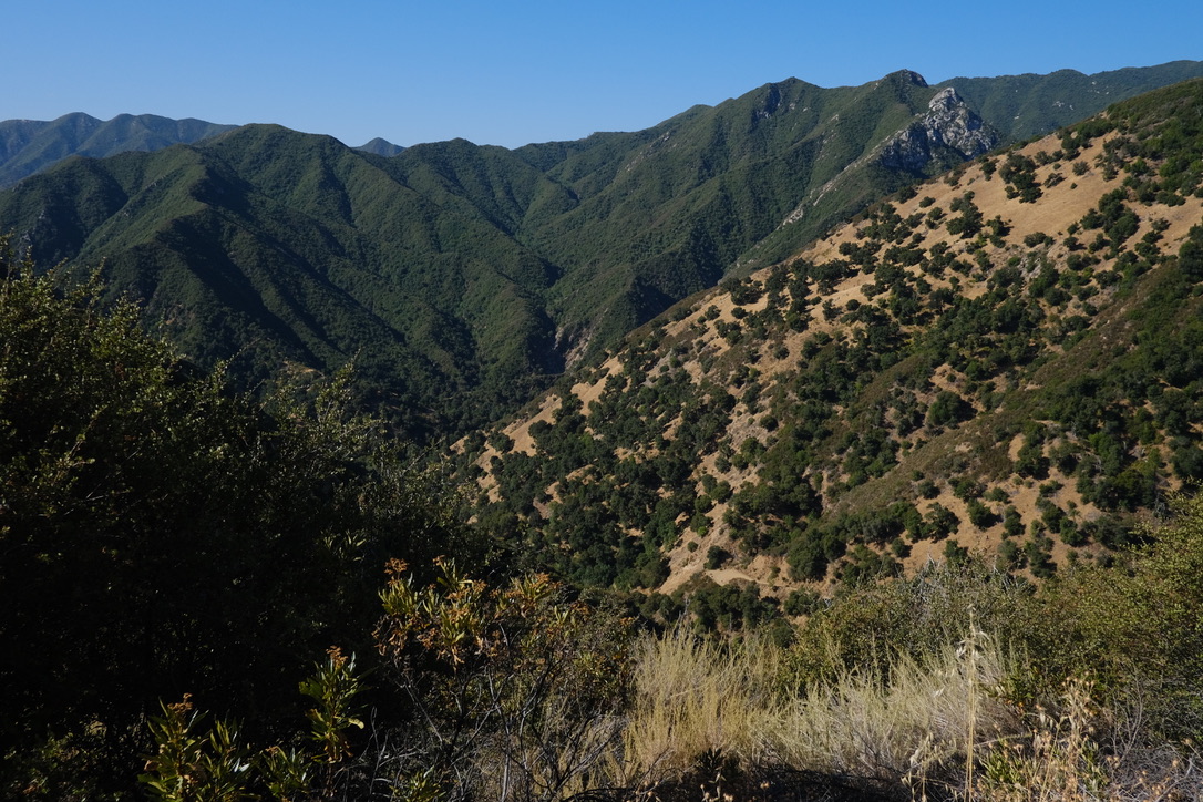
On the 15th we will cross city limits and head up to the saddle of San Bruno Mountain again. On the way we will visit one of the less fashionable neighbourhoods, Crocker Amazon. I have been wanting to do this roam again for a while, but waited until the bathroom rebuild at the San Bruno Mountain picnic area was finished – which it now is.
As you can imagine, there is some climbing involved to get onto the mountain, though perhaps not as much as you might think. There is also a short scramble on dirt to get off it. We will take a few off-road trails on the mountain itself.
We will meet at the Crocker Amazon playground, at the corner of Geneva and Moscow.
Bring water, snacks, and layers for whatever the weather is doing. Punctuality is always appreciated.
These roams are offered by donation. They are one way I am able to afford to live in San Francisco.
‘Shundo David Haye has probably walked through more parts of San Francisco than you have.’ I’ll take that endorsement – it came from this nice article in the SF Chronicle at the beginning of the pandemic
Camille, who I have known through Zen Center for more than twenty years, had a lovely piece on Roaming Zen published in the Bold Italic.
 Corona Heights – the first picture I used to promote Roaming Zen in 2016.
 Views to the Farallones from this little-known park.

If you need some prompts as to the benefits of roaming, here are a trio of articles from the Guardian:
Two-hour ‘dose’ of nature significantly boosts health – study
Woodland sounds help relaxation more than meditation apps – study
Blue spaces: why time spent near water is the secret of happiness
All of which is achievable without leaving the city limits!
And this from the New Yorker:
A small but growing collection of studies suggests that spending time in green spaces—gardens, parks, forests—can rejuvenate the mental resources that man-made environments deplete. Psychologists have learned that attention is a limited resource that continually drains throughout the day. A crowded intersection—rife with pedestrians, cars, and billboards—bats our attention around. In contrast, walking past a pond in a park allows our mind to drift casually from one sensory experience to another, from wrinkling water to rustling reeds.
Or, to put a name to it, Attention Restoration Theory.
The genesis for Roaming Zen was perhaps my shuso practice period at Tassajara in 2012, where I noticed that I derived as much energy from being on the trails or up the road, among the trees and by the creek, as I did from the hours in the zendo. It was also crystalised by a visit to Tassajara with a group from Young Urban Zen a year or two later: after the days of work, a group of us set off for a hike along the Horse Pasture trail, and at one stage, hearing all the talk of people’s pre-occupations and mundane affairs, someone in the group asked if we could all hike in silence for a while and properly take in the surroundings. Afterwards, the agreed verdict was that the silence had transformed the hike.
And so, having tried versions of it at City Center, Green Gulch and Tassajara, one of my favourite things to do these days is to gather a small group of people, and lead them around a chosen route, cultivating mindful presence through walking and sitting quietly in the midst of city life.
There are so many little corners of San Francisco that lend themselves to the activity, surrounded by beauty, views, and sometimes quiet. We have visited forests, hills and canyons, creeks and beaches, staircases and alleys, lakes and hidden parks; we have listened to birds and waves, watched butterflies, bees and coyotes, smelled flowers and ocean spray. We have looked over all sides of San Francisco and to the mountains beyond.
I like to give credit to OpenStreetMap, for featuring much more detail in paths and trails than I ever get from Apple Maps or Google Maps – I would not have found some of these routes without it – and FoundSF/OpenSF History for filling me in on what used to be in the places we visit.

